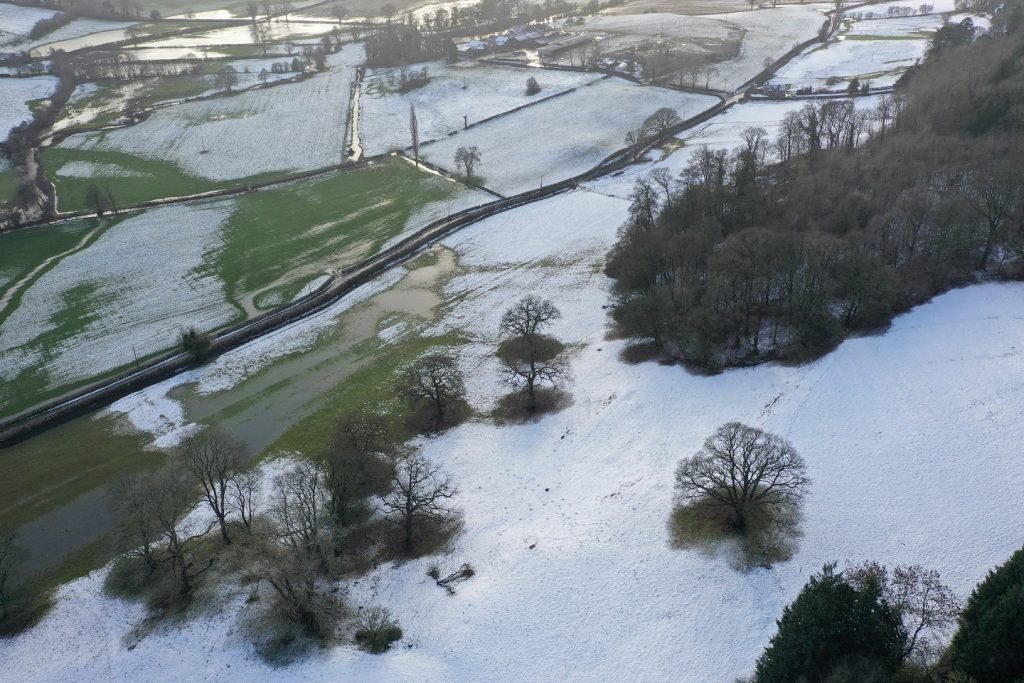
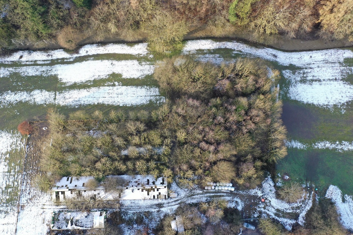
Last night saw the town of Ruthin submerged as the river Clwyd once again burst it’s banks.
Late evening I received a call from a local sheep farmer who wanted to try to capture the drainage on his land following the torrential downpour. First thing this morning I headed out to meet the farmer and discuss the location of the fields in question and exactly what the expectations of the captured footage would be. This in its self is a process that requires careful consideration and planning because of social distancing .
After the projects objectives were confirmed I did a check on the area and flight path for any hazards. I launched the Mavic Pro 2, It was a cold morning so I knew this was going to have an impact on the flight time of the batteries. I had placed the spare batteries in my pocked to keep them warm ready if needed.
I completed a “dummy” run then returned to the starting point to begin recording.
Once completed I uploaded the captured footage and images to the clients Dropbox so they could review it.
A successful first outing with the captured data providing valuable insight to the contours of the land and water paths.
If you have land that suffers with drainage issues and want to get a better view, please get in touch.


